Kirjat Mapseeker Publishing
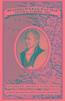
Bradshaws Railway Map Central Europe 1913
George Bradshaw, Mapseeker Publishing Ltd.
-25% koodilla BOOKS
Toimittajalla varastossa
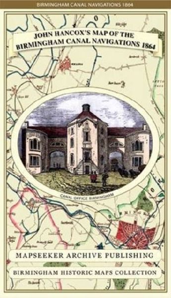
John Hancoxs Map of the Birmingham Canal Navigations 1864
Mapseeker Publishing Ltd., John Hancox
-25% koodilla BOOKS
Toimittajalla varastossa
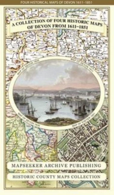
Devon 1611 - 1836 - Fold Up Map that features a collection of Four Historic Maps, John Speeds County Map 1611, Johan Blaeus County Map of 1648, Thomas Moules County Map of 1836 and a Plan of Exeter 1851 by John Tallis.
-25% koodilla BOOKS
Toimittajalla varastossa
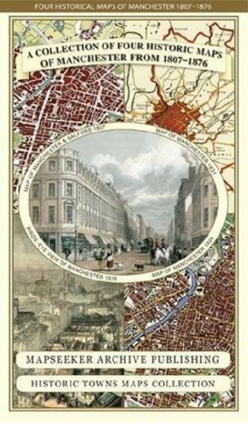
Manchester 1650 - 1876 - Fold Up Map featuring William Swires Plan of Manchester and Environs 1824, Cole and Ropers Plan of Manchester and Salford 1807, Dawsons Reform Plan of 1831, A Birds Eye View of 1876 Manchester and a Plan of Manchester of 1650
-25% koodilla BOOKS
Toimittajalla varastossa
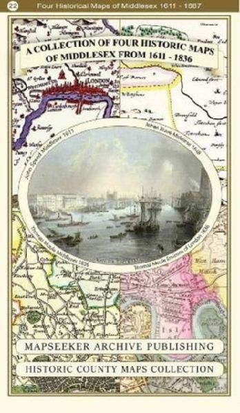
A Middlesex 1611 - 1836 - Fold Up Map that features a collection of Four Historic Maps, John Speeds County Map 1611, Johan Blaeus County Map of 1648, Thomas Moules County Map of 1836 and a Map of the Environs of London 1836.
-25% koodilla BOOKS
Toimittajalla varastossa
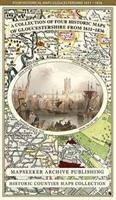
Gloucestershire 1611 - 1836 - Fold Up Map that features a collection of Four Historic Maps, John Speeds County Map 1611, Johan Blaeus County Map of 1648, Thomas Moules County Map of 1836 and a Plan of Gloucester 1805 by Cole and Roper. The maps also featu
-25% koodilla BOOKS
Toimittajalla varastossa
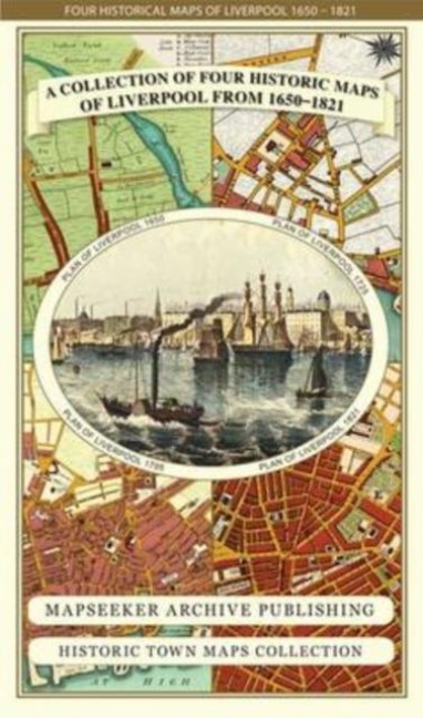
Liverpool 1650 to 1821 - Fold Up Map Containing Town Plans of Liverpool that include Liverpool 1650, 1725, 1795 and Sherwoods plan of Liverpool and Environs 1821
-25% koodilla BOOKS
Toimittajalla varastossa
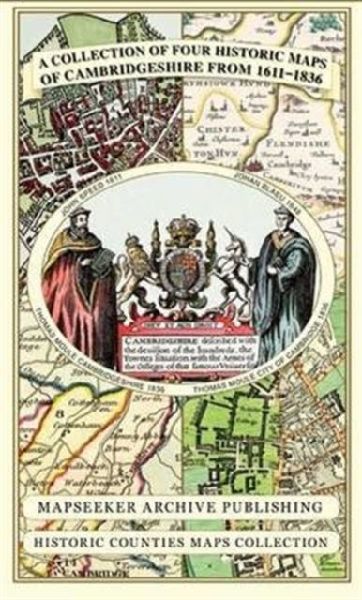
Cambridgeshire 1611 - 1836 - Fold Up Map that includes Four Historic Maps of Cambridgeshire, John Speeds County Map of 1611, Johan Blaeus County Map of 1648, Thomas Moules County Map of 1836 and Thomas Moules Plan of Cambridge City 1836
-25% koodilla BOOKS
Toimittajalla varastossa
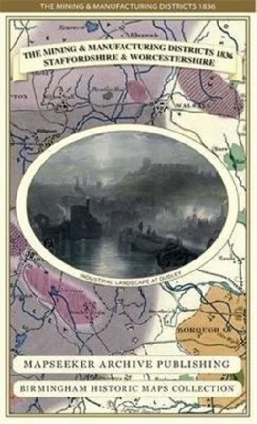
The Mining & Manufacturing Districts 1836 Staffordshire and Worcestershire
-25% koodilla BOOKS
Toimittajalla varastossa
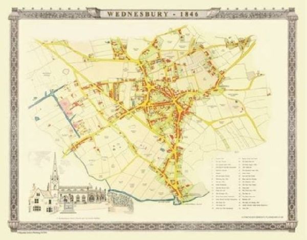
Old Map of Wednesbury 1846: Colour Town Plan of Wednesbury in the Black Country
Mapseeker Publishing Ltd., Plansearch UK
-25% koodilla BOOKS
Toimittajalla varastossa
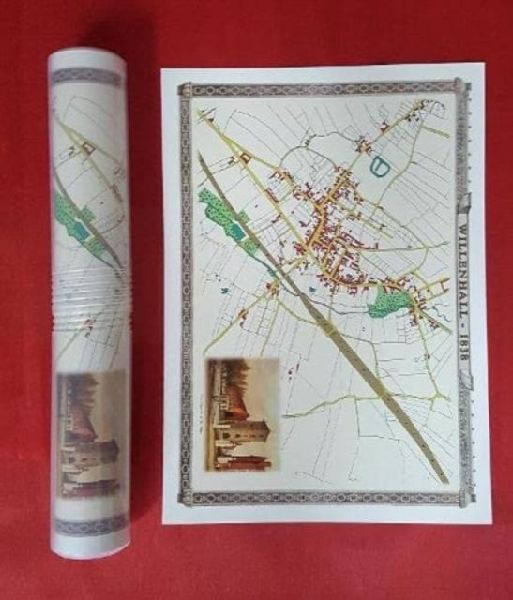
Willenhall 1838 - Old Map Supplied in a Clear Two Part Screw Presentation Tube - Print Size 45cm x 32cm
-25% koodilla BOOKS
Toimittajalla varastossa
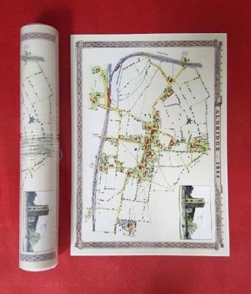
Aldridge Village 1884 - Old Map Supplied in a Clear Two Part Screw Presentation Tube - Print Size 45cm x 32cm
-25% koodilla BOOKS
Toimittajalla varastossa
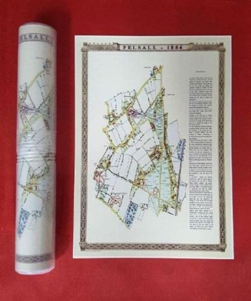
Pelsall village 1884 - Old Map supplied Rolled in a Clear Two Part Screw Presentation Tube - Print Size 45cm x 32cm
-25% koodilla BOOKS
Toimittajalla varastossa
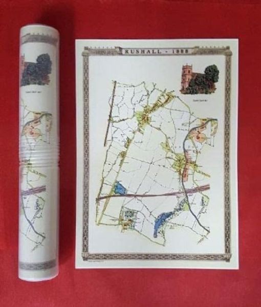
Rushall to Daw End 1888 - Old Map Supplied Rolled in a Clear Two Part Screw Presentation Tube - Print size 45cm x 32cm
-25% koodilla BOOKS
Toimittajalla varastossa